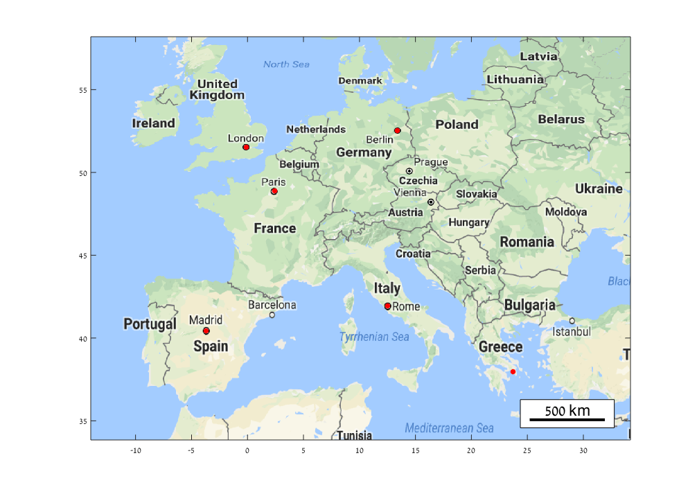
zoharby/plot_google_map
Plot a google map on the background of the current figure using the Static Google Maps API.

Al momento, stai seguendo questo contributo
- Vedrai gli aggiornamenti nel tuo feed del contenuto seguito
- Potresti ricevere delle email a seconda delle tue preferenze per le comunicazioni
Nota dell'editore: This file was selected as MATLAB Central Pick of the Week
Cita come
Zohar Bar-Yehuda (2026). zoharby/plot_google_map (https://github.com/zoharby/plot_google_map), GitHub. Recuperato .
Riconoscimenti
Ispirato da: get_google_map, Automatic Map Scale Generation
Ispirato: borders, plot_openstreetmap, GPS2Cart, landsat, GITANES, get_google_map, JCDstatusPlot
Informazioni generali
- Versione (13,1 KB)
-
 Visualizza la licenza su GitHub
Compatibilità della release di MATLAB
- Compatibile con qualsiasi release
Compatibilità della piattaforma
- Windows
- macOS
- Linux
| Versione | Pubblicato | Note della release | Action |
|---|---|---|---|
| 2.0.0 | Update description to reflect Google billing chnages |
||
| 1.6.0 | known issues (map saving alternative with export_fig) |
||
| 1.5.0 | Version 1.4 - 25/03/2014
|
||
| 1.4.0 | - Improved functionality of AutoAxis, which now handles any shape of map axes.
|
||
| 1.2.0 | - Support use of the "scale=2" parameter by default for finer rendering (set scale=1 if too slow).
|
||
| 1.0.0 |

