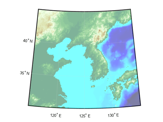
pcolorm
Project geolocated data grid in h = 0 plane on
axesm-based map
Description
pcolorm(
displays a surface on the current lat,lon,Z)axesm-based map by warping the
geolocated data grid Z, with geographic coordinates
lat and lon, to a projected graticule mesh. The
color of the surface varies according to the values in Z. This function
displays the surface in a horizontal plane with all height values set to 0.
pcolorm(___, specifies
surface properties using one or more name-value arguments. For example,
Name=Value)FaceAlpha=0.5 creates a semitransparent plot.
s = pcolorm(___)s to modify the plot after creation. For
a list of properties, see Surface Properties.
Examples
Input Arguments
Name-Value Arguments
Output Arguments
Tips
The
FaceColorproperty of the surface object depends on the size of the graticule mesh. Thepcolormfunction setsFaceColorto"flat"when the size of the graticule mesh matches the size ofZ, and"texturemap"otherwise.The
pcolormfunction projects the graticule mesh using the projection specified by theMapProjectionproperty of theaxesm-based map. To improve the resolution of the plot, increase the size of the graticule mesh. Increasing the size of the graticule mesh can increase the amount of time MATLAB requires to display the surface.
Version History
Introduced before R2006a

