Main Content

campos

Set or get position of camera for Satellite Scenario Viewer

Since R2021a

Description

campos(viewer,lat,lon) sets the latitude and longitude of the camera for the specified Satellite Scenario Viewer.

example

campos(viewer,lat,lon,height) sets the latitude, longitude, and ellipsoidal height of the camera. If you want to set only the height of the camera, use the camheight function instead.

campos(viewer) displays the latitude, longitude, and ellipsoidal height of the camera as a three-element vector. satelliteScenarioViewer objects use the WGS84 reference ellipsoid.

[latOut,lonOut,heightOut] = campos(___) sets the position and then returns the latitude, longitude, and height of the camera. Specify any input argument combinations from previous syntaxes.

Examples

collapse all

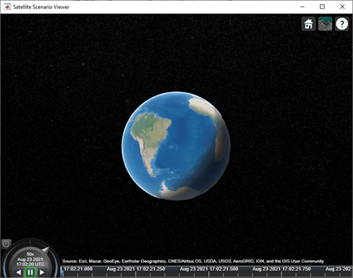
Create a satellite scenario object.

sc = satelliteScenario;

Launch the Satellite Scenario Viewer.

v = satelliteScenarioViewer(sc);

In the Satellite Scenario Viewer, set the latitude and longitude of the camera to -30 degrees and the height of the camera to 30,000 km.

latitude = -30;                     % degrees
longitude = -30;                    % degrees
height = 30000000;                  % meters
campos(v,latitude,longitude,height)

Input Arguments

collapse all

Satellite Scenario Viewer, specified as a scalar satelliteScenarioViewer object.1

Geodetic latitude of the camera in degrees, specified as a scalar in the range [–90, 90].

Geodetic longitude of the camera in degrees, specified as a scalar in the range [–360, 360].

Ellipsoidal height of the camera in meters, specified as a numeric scalar.

If you specify the height such that the camera is level with or below the surface of the Earth, then the campos function sets the height to a value one meter above the surface.

Output Arguments

collapse all

Geodetic latitude of the camera in degrees, returned as a numeric scalar.

Geodetic longitude of the camera in degrees, returned as a numeric scalar.

Ellipsoidal height of the camera in meters, returned as a numeric scalar. For more information about ellipsoidal height, see Geodetic Coordinates.

Version History

Introduced in R2021a


1 Alignment of boundaries and region labels are a presentation of the feature provided by the data vendors and do not imply endorsement by MathWorks®.